The expedition to the Antarctic began with several days spent traveling from Germany to Argentina’s southern-most city, which is also the southern-most city in the world: Ushuaia. The word “Ushuaia“ is taken from one of the indigenous languages and translates roughly as ”bay that faces east”. At latitude 54° 48‘ south, however, Ushuaia lies further from the South Pole than Moscow, at 55° 44‘ north latitude, is from the North Pole. It certainly feels like we’re near the very end of the earth.
The word “Ushuaia“ is taken from one of the indigenous languages and translates roughly as ”bay that faces east”.
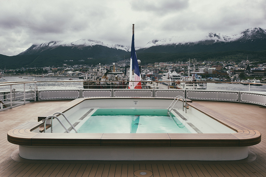
It’s a great surprise to learn that the expedition ship, the L´Austral, with the French Ponant line, serves during summer months as a cruise ship in the Mediterranean – which explains the pool at the rear of the ship, something that initially seemed so utterly out of place in the arctic climate. The fact that the ship was not built for extreme arctic conditions soon became abundantly clear to us. It works to my advantage, though, since I am assigned to a suite, despite having only booked a basic cabin. The door connecting the two cabins won’t close and that’s how I end up in a double cabin, or, rather, suite.
South Georgia
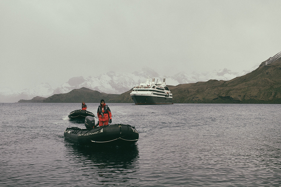
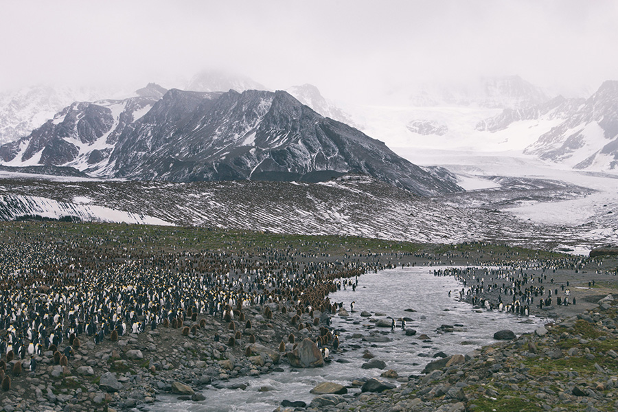
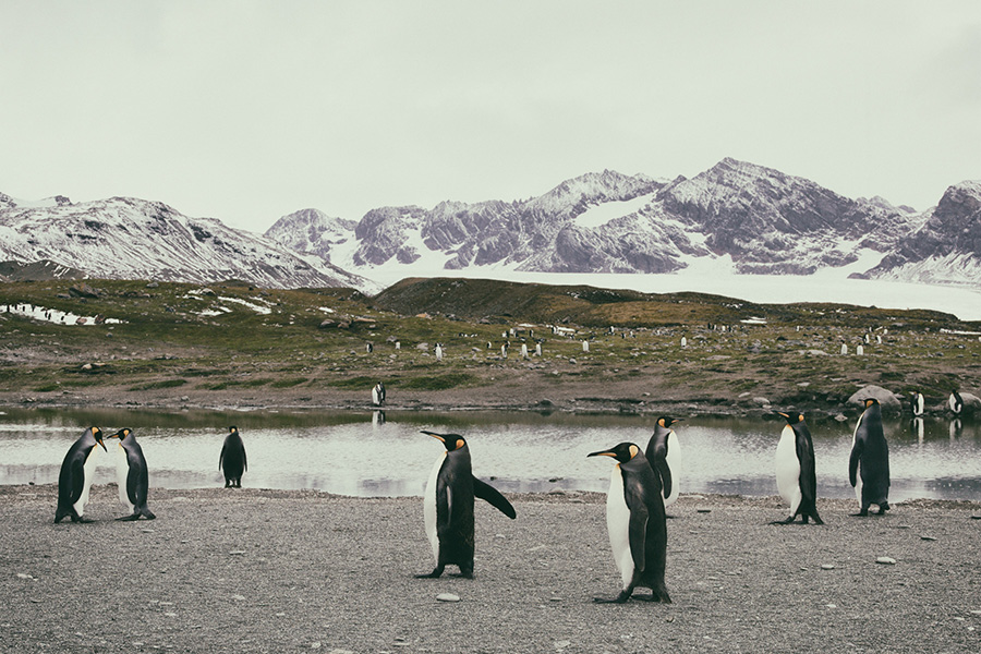
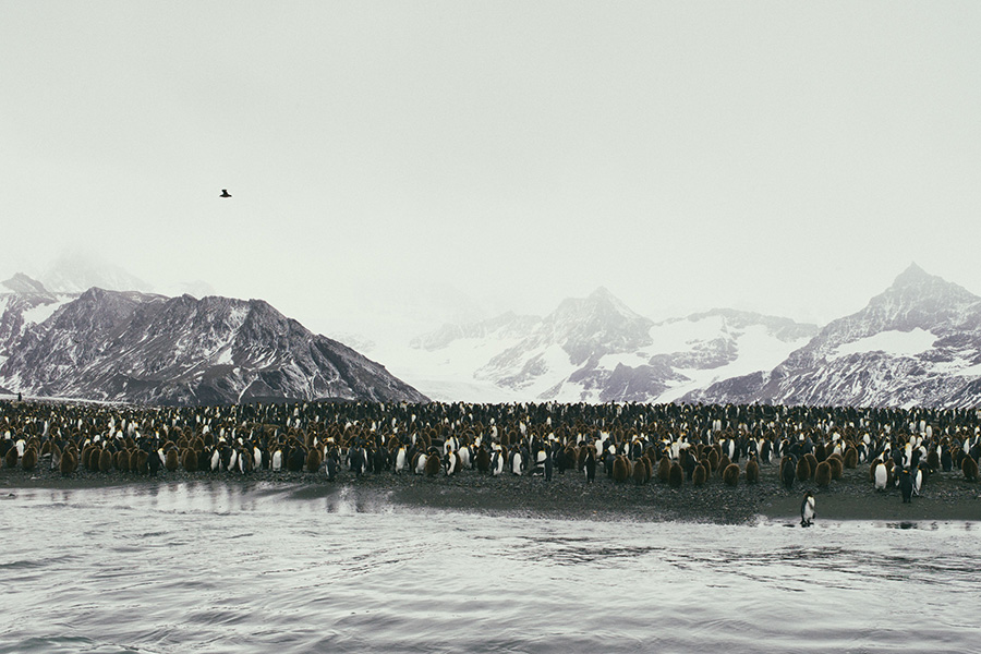
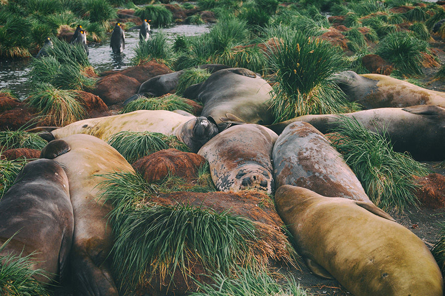
The first leg of our journey to the Arctic brings us to South Georgia Island, part of a chain of islands far to the east of the tip of Argentina. South Georgia is 160km in length and is known for its flora and fauna, in particular its incredible wildlife. Along with sea leopards, seals and sea elephants, there’s a colony of over 400,000 king penguins at St. Andrew´s Bay. During the approach in the Zodiac we soon catch wind of the foul odor coming from the king penguins. But what truly amazes me is how easily they are able to find their way around the enormous bay.
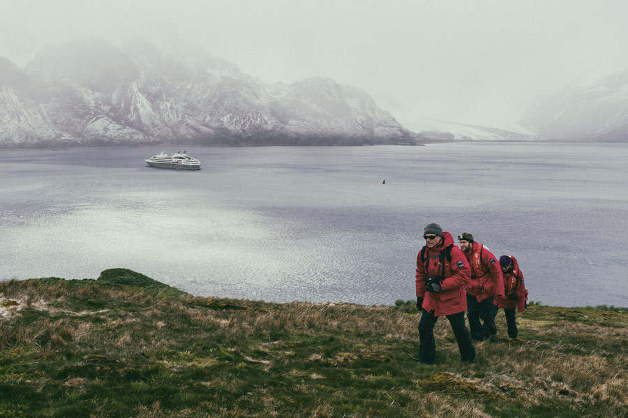
A rather strenuous hike through the mountains of South Georgia is on our schedule the following day. Fierce winds whip at us as we make our way along the historic Shackelton Hike from Fortuna Bay to Stromness Harbour. The British polar explorer, Sir Ernest Shackelton, reached South Georgia at the end of the dramatically unsuccessful Endurance expedition. His ship, the Endurance, was crushed by pack ice and his crew rescued themselves by crossing the ice to reach Elephant Island. Six of his men sailed around the South Georgia coast in a lifeboat. Shackleton traversed the glacier on foot, arriving in Stromness on May 20, 1916.
Icebergs – Journey to the Antarctic
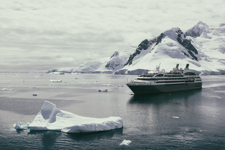
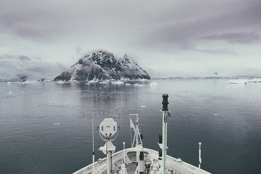
Following our initial days spent off South Georgia, the ship next sets course for the Antarctic. Two days sailing through the infamous Drake Passage lie before us until we arrive at the Antarctic peninsula. Icebergs point the way, a signal that we don’t have much farther to go.
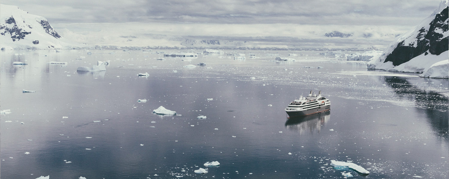
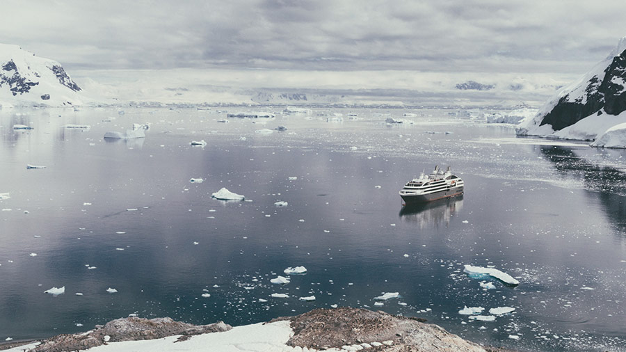
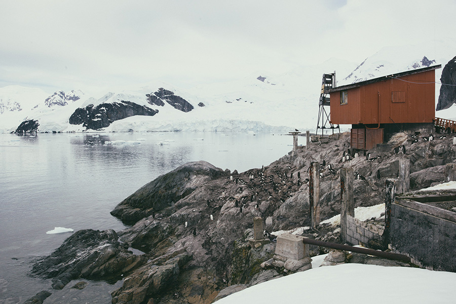
Arriving at the southernmost point of our expedition, we are treated to a stunning view of Paradise Bay. Countless glaciers are reflected in the crystal clear, ice-cold waters. We take the Zodiac across the bay, landing at the Chilean González Videla Antarctic Research Station.
Arriving at the southernmost point of our expedition, we are treated to a stunning view of Paradise Bay. Countless glaciers are reflected in the crystal clear, ice-cold waters.
From Paradise Bay we continue on to Neko Harbour. Neko Harbour lies on Andvord Bay, which slices into the western side of the Antarctic peninsula at 64°50’S. Like everywhere else along this part of the peninsula, the coastline at Andvord Bay is comprised mainly of the tall leading edges of glaciers and steep, rugged cliffs. Owing to the terrain, there are very few spots where a landing can be made on the continent. Neko Harbour is one of these spots.
Only a few hundred meters from the rocky landing site, an enormous glacier is calving into the bay, setting adrift large quantities of glacial ice. Neko Harbour was discovered in 1898 by the Belgian, Adrien de Gerlache, and is named after a Norwegian whaling boat that worked the area between 1911 and 1924.
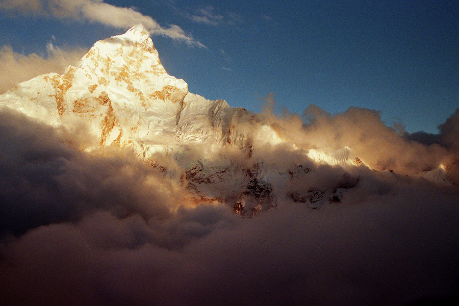
Just as throughout the entirety of our Antarctic expedition, we are treated to an unbelievable array of colors and light in a rich variety of moods.
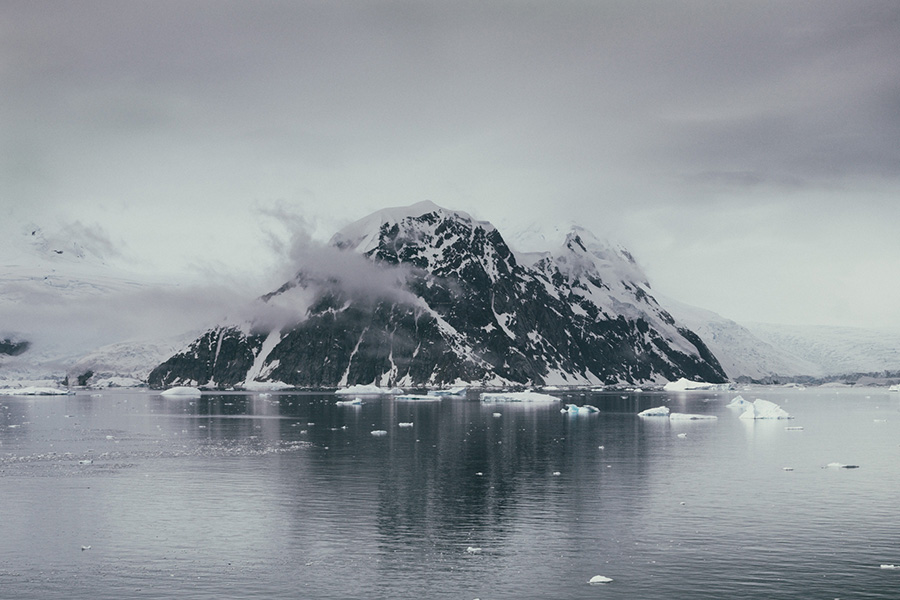
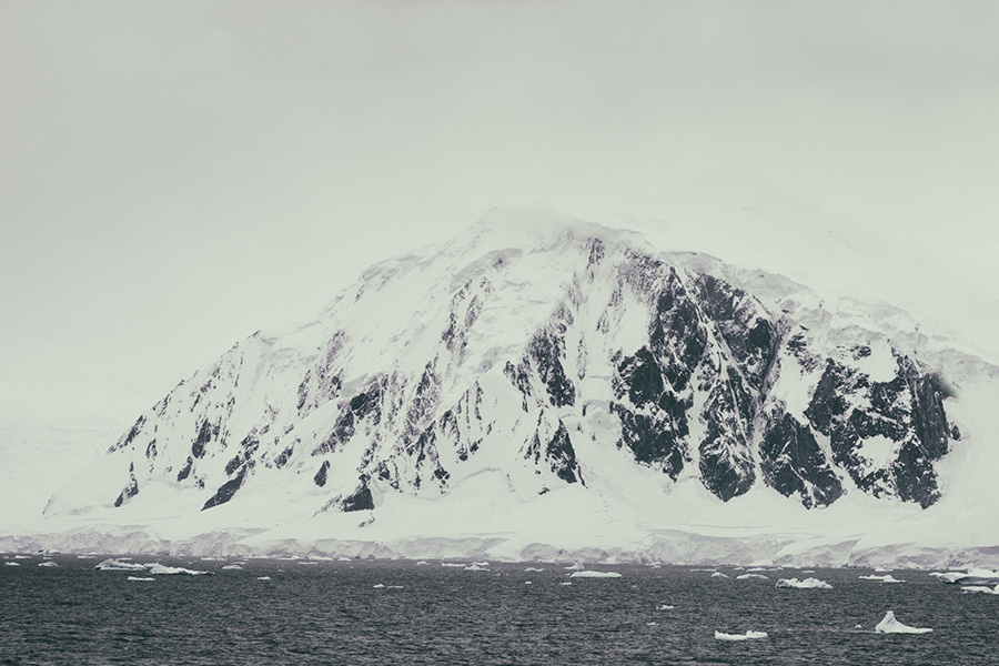
On the way back, we travel through the Lemaire Canal, a strait between the Antarctic peninsula and nearby Booth Island, before setting course for the American continent. We sail past mountains cloaked in layers of snow untold meters in depth. You can see along the escarpment the massive amounts of snow that lie piled atop these mountains. Just as throughout the entirety of our Antarctic expedition, we are treated to an unbelievable array of colors and light in a rich variety of moods.
Near Cape Horn the winds grow increasingly stronger. While I’m standing in the shower in my cabin, the ship heels over so much that the stream of water shoots past me on the right. With a queasy look on my face, I glance over to the monitor and see that it’s registering a 120km/h side wind. I think to myself, thank goodness it’s not much farther to our destination, the harbor at Ushuaia, but then it occurs to me that our ship is actually meant for the calmer weather of summer in the Mediterranean…
The pictures were made with a Hasselblad medium format camera and with a Leica.
Receive a postcard from us sign up


